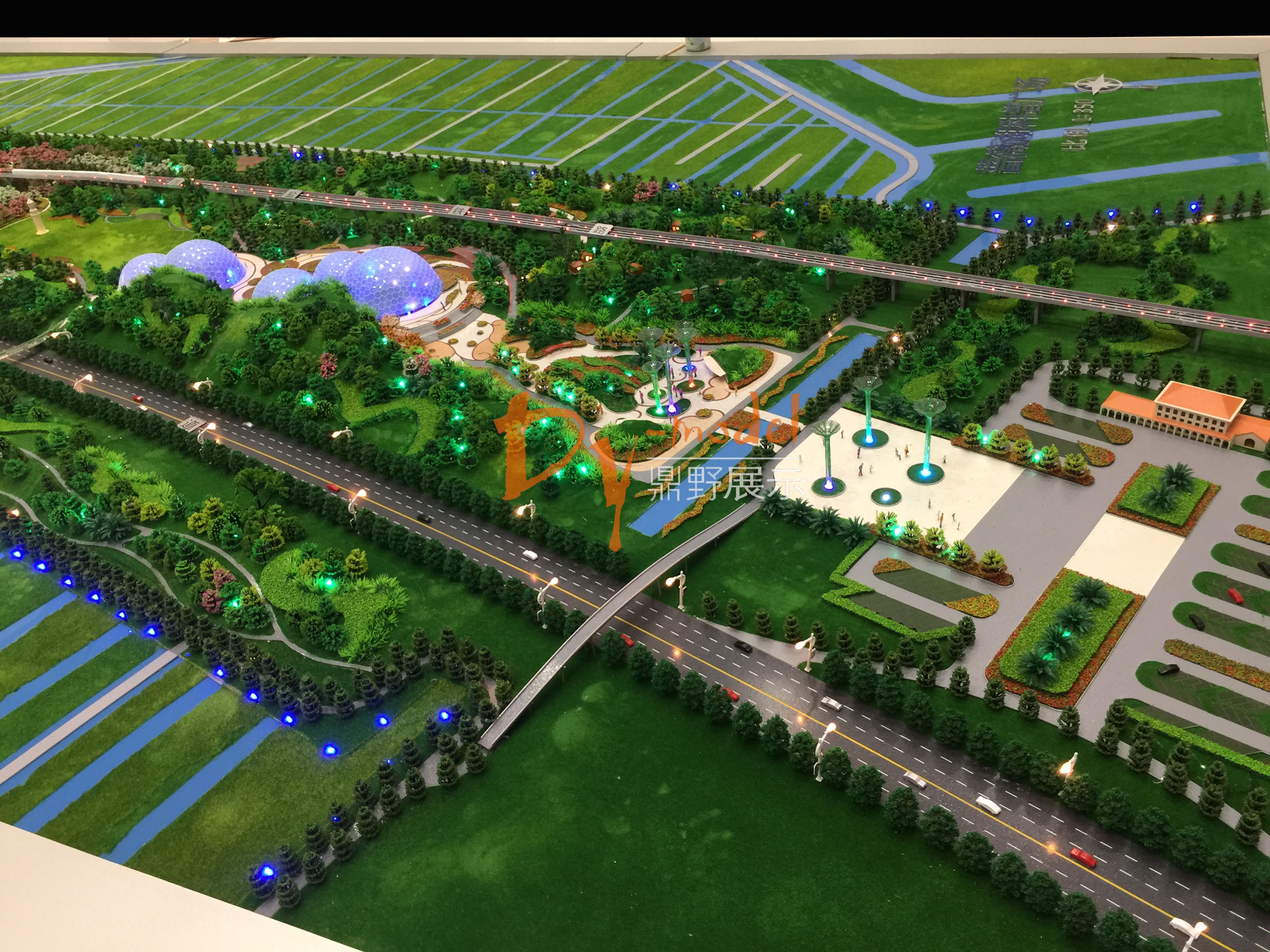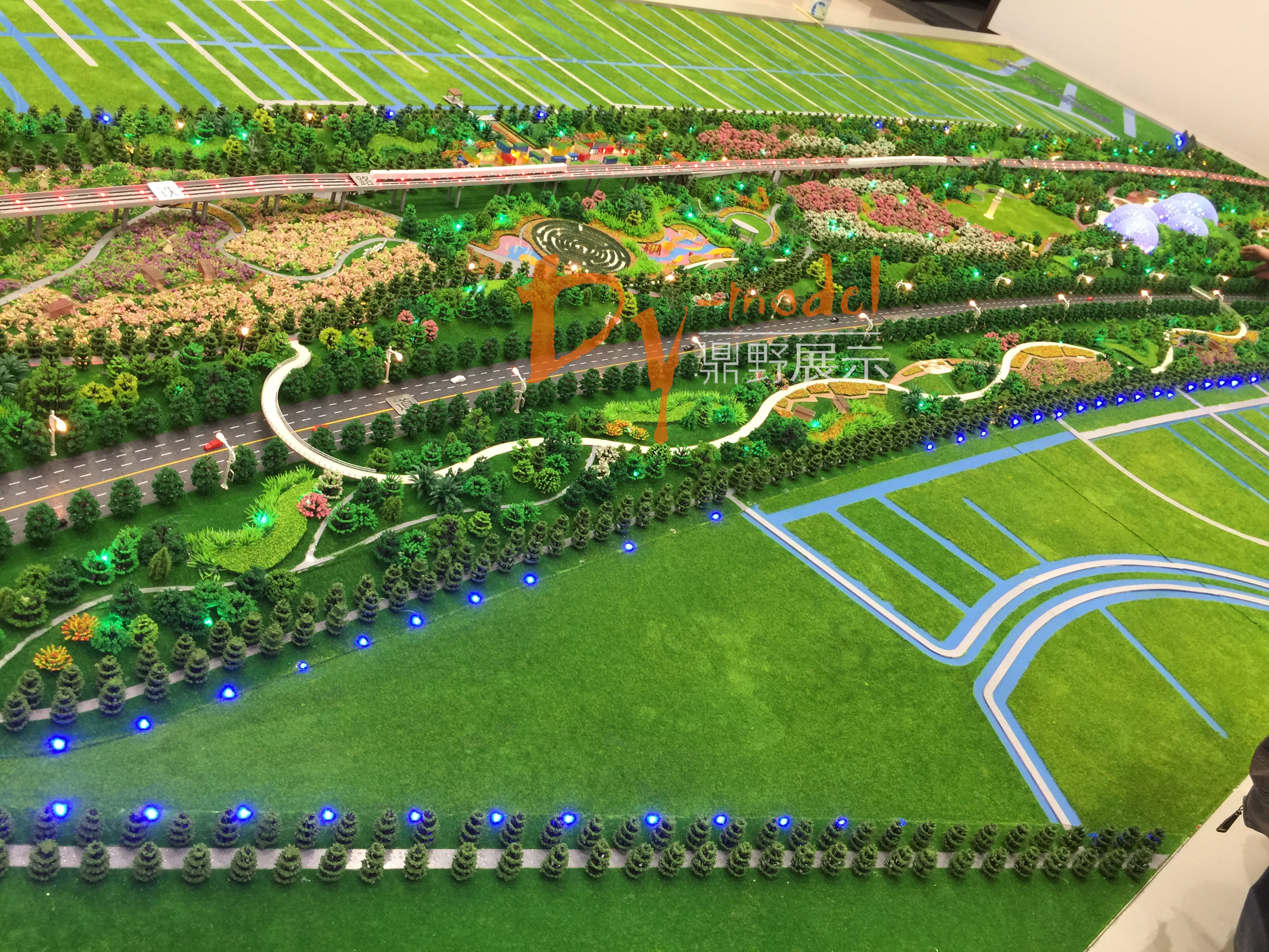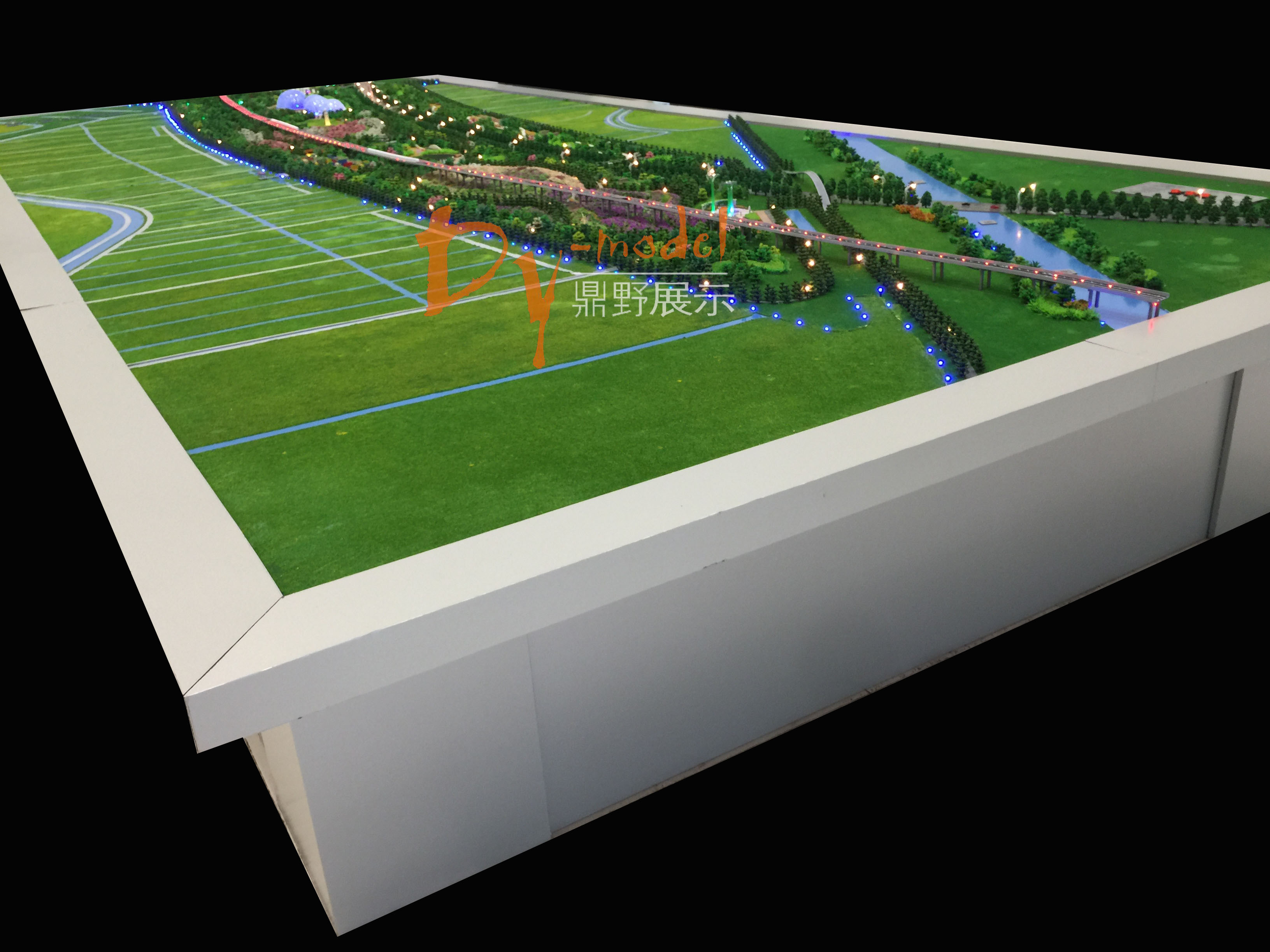


Project Name: Lianyungang Rose Lake Wetland Park
Sand table model can be used as a copy of urban planning to reproduce the urban panorama, including the size of the city, spatial layout, land use and various construction, and provide a reference for planning designers.
Because of its good practicability, sand table model is widely used in the field of urban planning and design to show the blueprint of planning. It not only reflects the real and concrete space-time form of urban planning and design, but also has the incomparable functions of dynamic demonstration, interaction with audiences, real-time updating of data and information through various high-tech means such as sound, light, electricity, fog and multimedia.